12 July 2024
by Jonathan Andrews
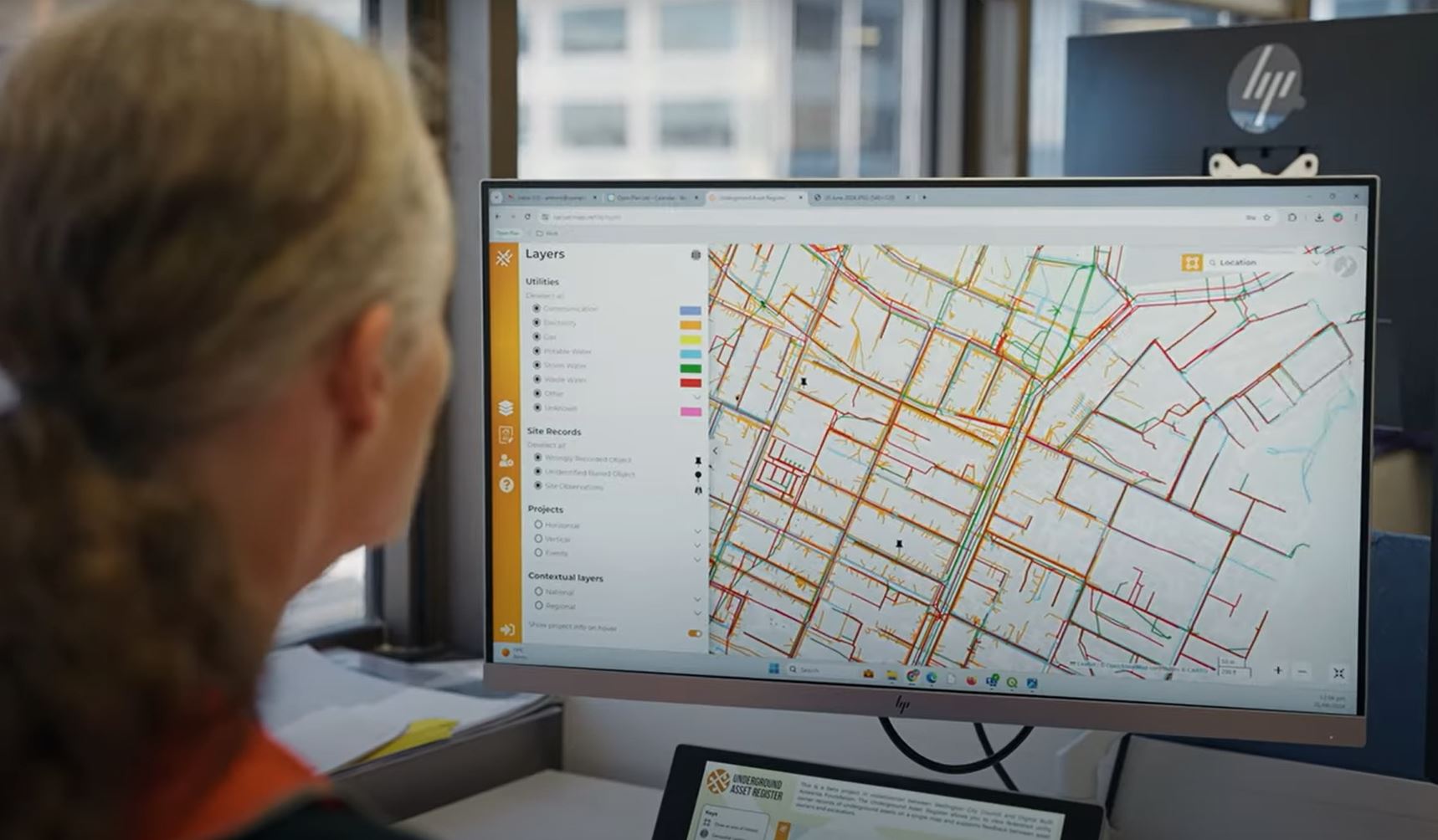
New Zealand’s capital, Wellington, has become the first city in the country to create an online data sharing platform to map all underground infrastructure either owned by the city or other utility operators.
The platform will map buried pipes and cables that could save infrastructure organisations millions of dollars each year.
The platform aims to reduce disruption to the capital’s streets by moving away from legacy records and outdated paper processes to a centralised online map-based library. It will build towards a digital twin of the infrastructure under the city’s streets.
“In 2021, it was identified that the scale and complexity of major infrastructure projects, particularly in relation to utilities management, meant that the city needed to take a different approach to subsurface utilities engineering,” Denise Beazley, Programme Director, Wellington City Council, told Cities Today.
“Overseas examples of major projects (such as the Sydney Light Rail) where either inaccurate or incomplete underground asset data had had a major impact on the cost, disruption, safety and delay of works, pointed to the need to learn from these examples and take an innovative approach to improve our knowledge of underground assets across our city.”
The council’s own analysis projects more than 70 percent of infrastructure companies experience one or more issues with data, be it missing, inaccurate, hard to use, or lacking detail or context.
Fifty percent are affected by physical issues, like asset strikes, near misses, unexpected assets found, or expected assets not found.
“Our approach has been for the city to support the development of the tool as a better solution to fulfil its regulatory duties in the road corridor, and correspondingly for the utility sector to have a strong voice in how it is developed,” she said.
The new platform allows anyone working in the sector to validate and verify information about underground assets, giving the industry the opportunity to improve the accuracy of their records.
Beazley said that in the coming months contextual layers to the new platform will be added including survey marks, notable trees, sites of significance to Māori (the indigenous people of Aotearoa New Zealand), and other valuable information like the location of old tram tracks, reinforced concrete and contaminated land.
She added: “The plan is for Wellington to pilot the platform and develop new ways to capture information to feed back into the system to improve the quality and trustworthiness of underground asset data. Ultimately, we are developing the platform and supporting regulatory system in a way that it can be scaled up and rolled out across New Zealand.”
Image: Wellington City Council


